| |
| |  Re: Best place for a waterproof detailed satellite map
[Re: gordo1287]
#131268 Re: Best place for a waterproof detailed satellite map
[Re: gordo1287]
#131268
02/10/08 06:59 PM 02/10/08 06:59 PM |
Joined: Oct 2006
Posts: 902
Norman,OK gree2056 
old hand
|
old hand
Joined: Oct 2006
Posts: 902
Norman,OK | I tried to get a good chart of the area you are looking for last year and couldn't find anything in the price range I was looking for.
I ended up finding a very old chart my dad had from fishing down there.
Once you go cat you never go back!
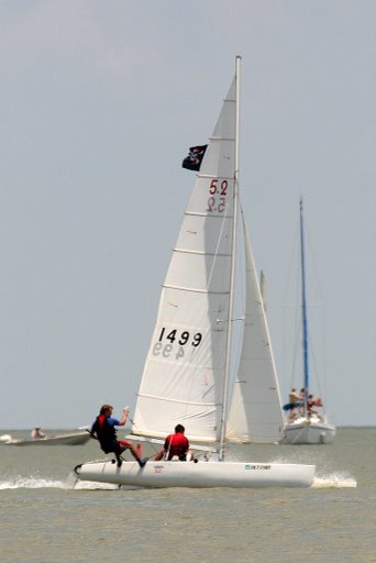
Nacra 5.2 (Elsies)#1499, running an inter17 spin!
| | | Re: Best place for a waterproof detailed satellite
[Re: gordo1287]
#131270
02/10/08 10:04 PM 02/10/08 10:04 PM |
Joined: Nov 2002
Posts: 465
FL sail7seas
addict
|
addict
Joined: Nov 2002
Posts: 465
FL | | | | Re: Best place for a waterproof detailed satellite
[Re: sail7seas]
#131271
02/11/08 01:52 AM 02/11/08 01:52 AM |
Joined: Sep 2007
Posts: 757
japan erice
old hand
|
old hand
Joined: Sep 2007
Posts: 757
japan | of heard that cutting paper charts into a4 sized bits and then laminating them works well
but i'm very comfortable with my small garmins now and would load them with the appropriate marine charts, keep one inside my wetsuit as backup, and the other tied to the boom
eric e
eric e
1982 nacra 5.2 - 2158
2009 weta tri - 294
| | | Re: Best place for a waterproof detailed satellite
[Re: erice]
#131272
02/11/08 10:05 AM 02/11/08 10:05 AM |
Joined: Jul 2007
Posts: 16
Texas T9c
stranger
|
stranger
Joined: Jul 2007
Posts: 16
Texas | Here's where I got my charts(free): http://nauticalcharts.noaa.gov/mcd/Raster/Index.htmI dl them to my pc and print them out. Dl & install a viewer too. You could then section & laminate. Charts are a better nav aid than sat image because most of them show depth readings and obstructions. Sat image has it's place & time, though. You can also get printed charts for about $20 ea. at West Marine stores.
Git-r-Done!
| | | Re: Best place for a waterproof detailed satellite
[Re: flumpmaster]
#131274
02/11/08 02:36 PM 02/11/08 02:36 PM |
Joined: Jun 2001
Posts: 12,310
South Carolina Jake
Carpal Tunnel
|
Carpal Tunnel
Joined: Jun 2001
Posts: 12,310
South Carolina | That's some good ideas Chris! Now that you can download all the NOAA charts for free...makes it cheaper.
Jake Kohl
| | | Re: Best place for a waterproof detailed satellite map
[Re: gordo1287]
#131276
02/13/08 01:51 PM 02/13/08 01:51 PM |
Joined: Jun 2001
Posts: 778
Houston carlbohannon
old hand
|
old hand
Joined: Jun 2001
Posts: 778
Houston | If you have a computer file of the map, you can print it on waterproof paper. This only works for laser printers. The waterproof paper is not as good as a laminated map but it's relativly cheap. Layline sells the paper or you can go to. http://www.riteintherain.com/ | | |
| |
0 registered members (),
2,438
guests, and 309
spiders. | | Key: Admin,
Global Mod,
Mod | | | Forums26 Topics22,406 Posts267,062 Members8,150 | | Most Online23,979
Sep 24th, 2025 | | |
|
| |